Queen's Wood Local Nature Reserve
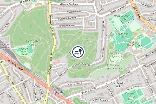
Queen's Wood is a 52-acre (21 hectare) area of ancient woodland in the London Borough of Haringey, abutting Highgate Wood and lying between East Finchley, Highgate, Muswell Hill and Crouch End. It was originally part of the ancient Forest of Middlesex which covered much of London, Hertfordshire and Essex and was mentioned in the Domesday Book. It is now one of three Local Nature Reserves in the London Borough of Haringey. It is situated a few minutes' walk from Highgate tube station. Haringey contains four ancient woods. These are Highgate Wood, Queen's Wood, Coldfall Wood and Bluebell Wood. All are shown on John Rocque's 1754 Map of Middlesex. Queen's Wood was once called Churchyard Bottom Wood, and was originally part of the Great Forest of Middlesex. It was said to be the site of a plague pit during the Great Plague of London, although evidence suggests if there was a plague pit it was just outside the boundaries of the current wood. In 1898 it was purchased from the Ecclesiastical
- Location
- Haringey