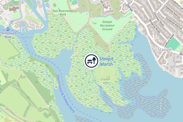
Stanpit Marsh, Christchurch Local Nature Reserve
Stanpit is a neighbourhood of Christchurch in the Bournemouth, Christchurch and Poole unitary authority in the ceremonial county of Dorset, England. Stanpit is within Mudeford parish, and is situated on the shore of Christchurch Harbour, 1 mile (1.6 km) east of Christchurch town centre. Traditionally it is part of the historic county of Hampshire, and was a small village until the growth of the South East Dorset conurbation in the 20th century. The Stanpit road connects from the end of the original Mudeford road through to Purewell Cross. Stanpit is mentioned in the Domesday Book (1086) as Stanpeta meaning 2 estates with meadows. On Isaac Taylor's 1759 map of Hampshire it is marked as Stampit. During the 19th-century, the area became known for smuggling and the nearby fishing village of Mudeford was the scene of the so-called 'Battle of Mudeford', a violent conflict between smugglers and revenue men that resulted in the death of a naval officer. The local Scout hut, situated on Stanpit
- Location
- Bournemouth, Christchurch and Poole